Geospatial images in the acquisition of spatial knowledge for wayfinding
Keywords:
geospatial image, spatial knowledge, wayfinding, cognitive map, landmark, route, vertical, realismAbstract
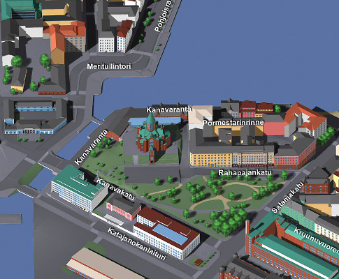
Geospatial images, such as maps and aerial photographs, are important sources of spatial knowledge that people use for wayfinding. The rapid development of geodata acquisition and digital graphics has recently led to rather complete geographic coverage of both traditional and novel types of geospatial images. Divergent types of geospatial images vary in their support of human acquisition of spatial knowledge. However, evaluative studies about the acquisition of spatial knowledge from the diversity of geospatial images have been rare. In this article, we review a variety of literature about the acquisition of spatial knowledge while paying particular attention to the role of geospatial images. Based on the literature, we present a framework of image parameters that characterize the acquisition of spatial knowledge from geospatial images: vantage point, number of visible vertical features, and visual realism. With the help of the framework, we evaluate commonly used geospatial images. In concordance with the previous experiments, our evaluation shows that the different types of geospatial images have large differences in the types of spatial knowledge they support and to what extent. However, further experimentation is needed in order to better understand the human cognitive needs for geospatial images and to develop more useful geospatial images for wayfinding.
Downloads
Published
Issue
Section
License
Copyright (c) 2012 Pyry Kettunen, Katja Irvankoski, Christina M. Krause, Tapani Sarjakoski, L. Tiina Sarjakoski

This work is licensed under a Creative Commons Attribution 4.0 International License.
Articles in JOSIS are licensed under a Creative Commons Attribution 3.0 License.
